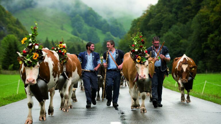

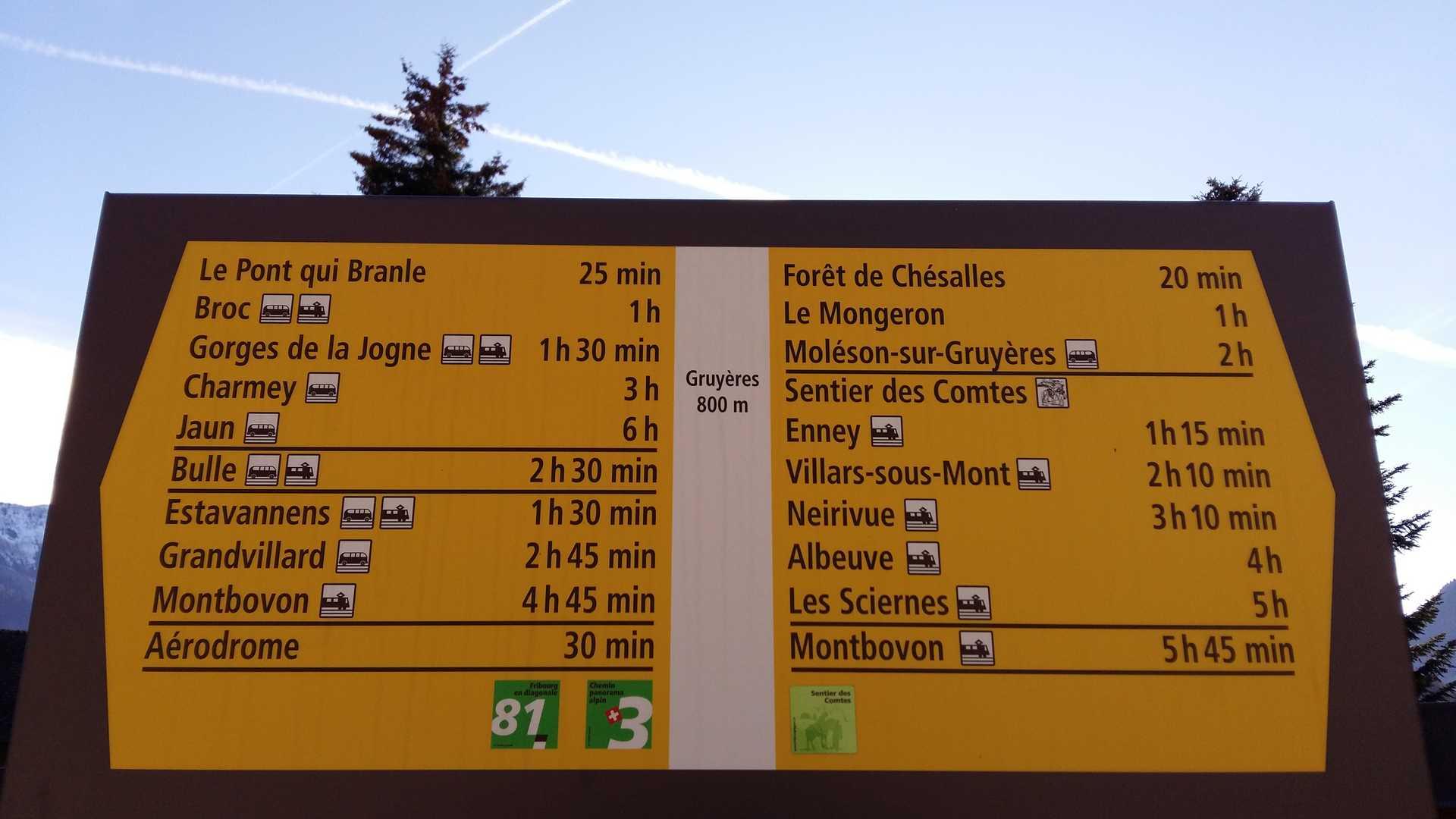
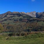
Between Gruyères and Montbovon, discover the left bank of the Sarine with its seven villages that tell you their stories and reveal their old buildings and chapels.
From Gruyères, join Saint-Théodule Church and take the Charrière des Morts to Saussivue and the Chésalles forest. Discover the statue of Our Lady of Chésalles, and continue on your way to reach the Fin de Chenau in the heights of the village of Enney. Continue your journey near the Oratory of Léchire.
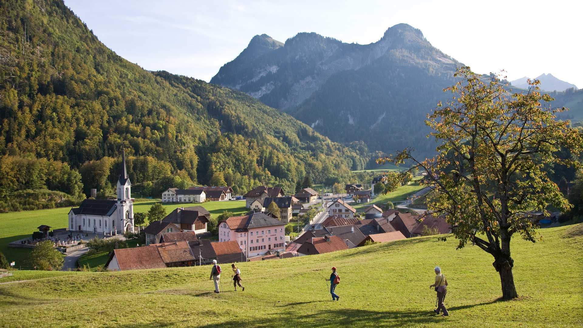
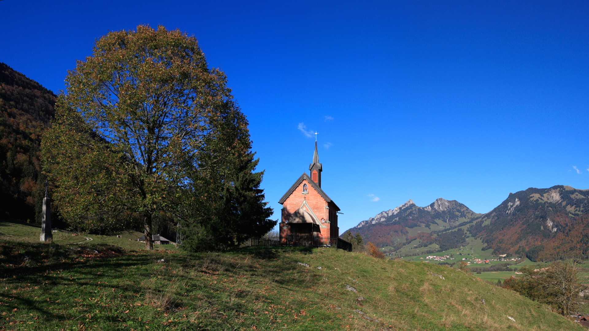
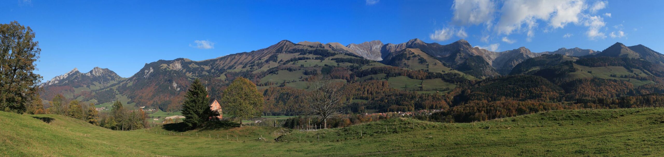
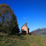
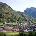
Above Villars-sous-Mont, after crossing the Rio di Prâ, you can admire the pink Chapel of Notre Dame Auxiliatrice, built in 1897. After the village of Neirivue, above the village of Albeuve, you cross the river La Marive, which winds between the Gorges de l'Evi.
After a slight ascent of about 100m, walk over the Beaucu bridge built at the beginning of the 20th century, which houses the statue of Notre Dame des Graces.
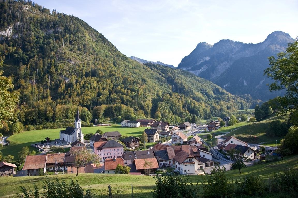
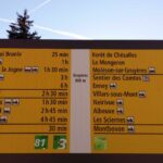
The path continues in the direction of Sciernes d'Albeuve. Discover this charming little village by starting your descent to Montbovon. After crossing the Hongrin, walk the last 900m to Montbovon train station. Trains to La Gruyère, Pays-d'Enhaut or La Riviera are available every hour.
Tip: It is possible to interrupt the walk by joining the train stations in each village.
Accessible by public transport: Yes | Nearest bus or train stop: Gruyères, gare or Montbovon
Accessible by car: Yes (parking at Montbovon train station or on the Gruyères car parks for CHF 5.- daily)
Difference in height: +611m / -621m
Discover all the hiking trails in La Gruyère.
Information
La Gruyère Tourisme
Centre commercial Velâdzo (rez inférieur)
Place de la Gare 3
1630 Bulle


Properties of the itinerarie
Difficulty: Easy
Duration: 05:45
Distance: 17 km
Ascent/Descent: +725m / -736m
Altitude min./max.: 736m / 986m