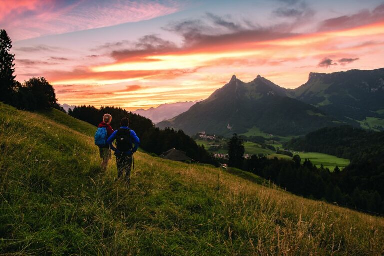

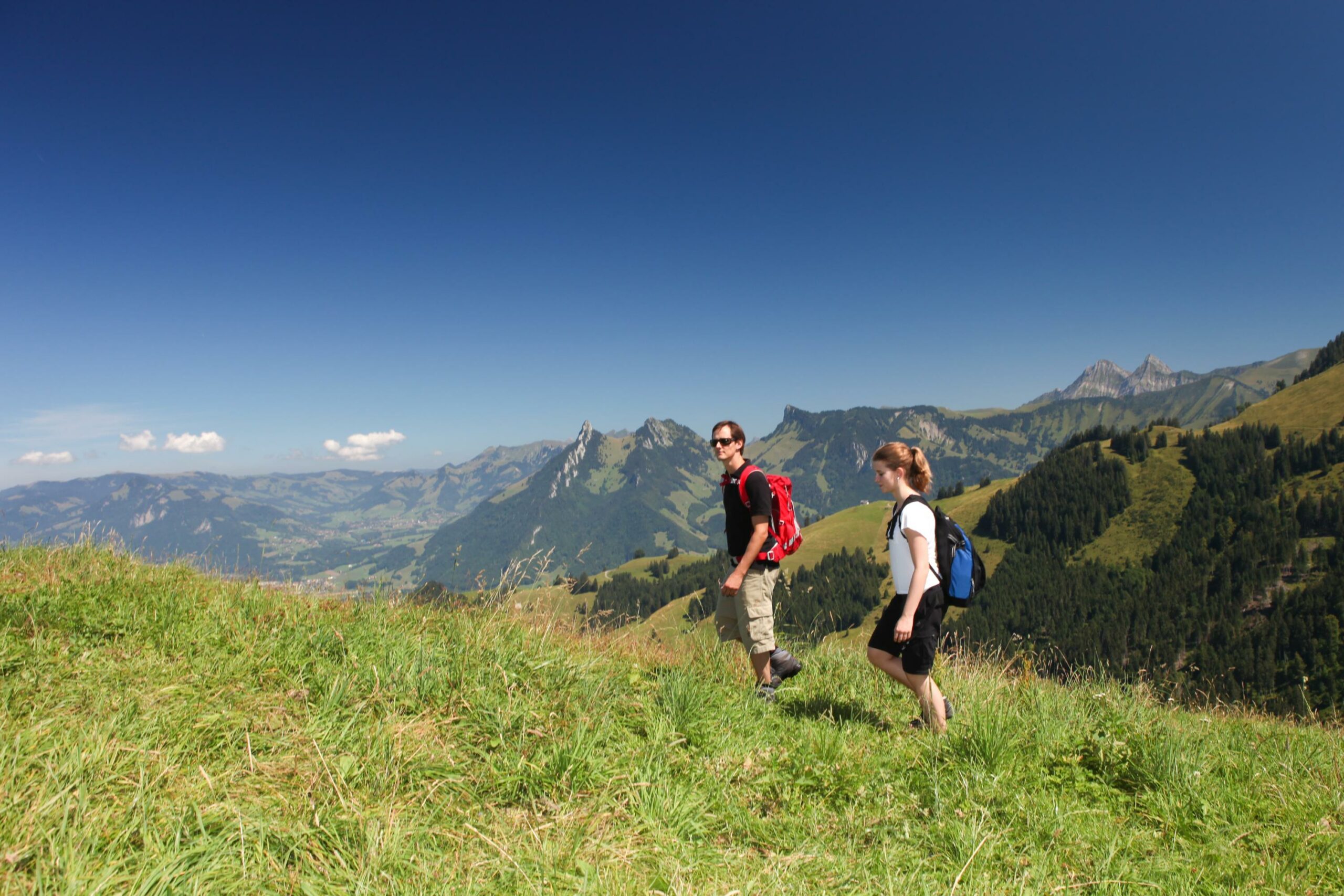
A magnificent and danger-free ridge, La Vudalla offers a superb view of La Gruyère and the peaks of the Fribourg Pre-Alps with the Bernese Alps as a background.
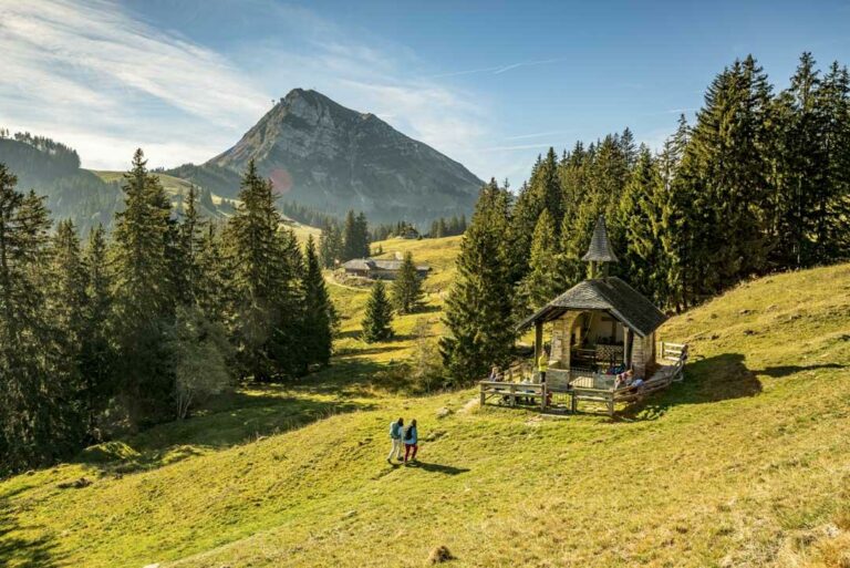
The itinerary begins at the Moléson funicular station with a climb up into the Albeuve small valley towards Moléson-à-Baron. Continue the ascent on the road towards the Chalet de Gros-Moléson. The path gently turns into a hiking trail, which crosses fields and pastures.
After the passage of the Gros-Moléson at 1543m, the itinerary changes its appearance to offer a superb panoramic view of Lac de La Gruyère, the Intyamon and the surrounding peaks. Enjoy these incredible views as you walk along the ridge leading to the highest point of La Vudalla, at 1670m.
Start the descent by following the footpath between the enclosures and join the road. Follow this road for about 2km until you reach a crossroad on the left that leads to the main path for Moléson-sur-Gruyères. You arrive on the Cheese dairy path which passes through Les Reybes and takes you slowly to Moléson-sur-Gruyères.
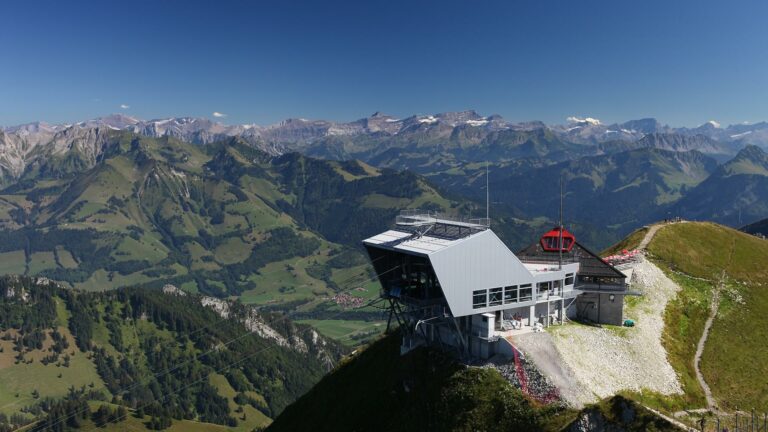
Tip: The Moléson leisure park offers a bobsleigh ride, a unique activity in the region.
Accessible by public transport: yes | Nearest bus or train stop: Moléson-sur-Gruyères (funi)
Accessible by car: yes (funicular parking)
Difference in height: +642m / -644m
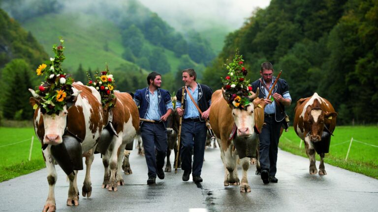
Discover all the hiking trails in La Gruyère.
Information
Office du Tourisme de Moléson
Route du Moléson 228
1663 Moléson-sur-Gruyères
Properties of the itinerarie
Difficulty: Easy
Duration: 03:40
Distance: 10 km
Ascent/Descent: +697m / -697m
Altitude min./max.: 1105m / 1669m