Region of Fribourg

The tourist region of Fribourg offers you unforgettable experiences... Lake, city or mountains, discover a real land of values!


Fribourg Meeting offers you the possibility to comfortably organize your future seminars or congresses.

Choose a region

La Gruyère
Fribourg
Estavayer-le-Lac
Region
Region
Murtensee
Schwarzsee -
Senseland
Romont Région
Les Paccots
- La Veveyse

What are you looking for?

Choose a region

Welcome to the website of Fribourg Region and its tourist regions. Please select on the map the region you wish to discover and browse through its offers. We wish you a lot of fun!

swiss map
La Gruyere
Fribourg
Estavayer-le-Lac
Region
Région Lac
de Morat
Schwarzsee-
Senseland
Romont
Les Paccots
You are in the region
Search

Fribourg’s prealp trail: Jaun-Chalet du soldat

Properties of the itinerarie

Difficulty: Easy

Duration: 02:55

Distance: 6 km

Ascent/Descent: +897m / -162m

Altitude min./max.: 998m / 1753m

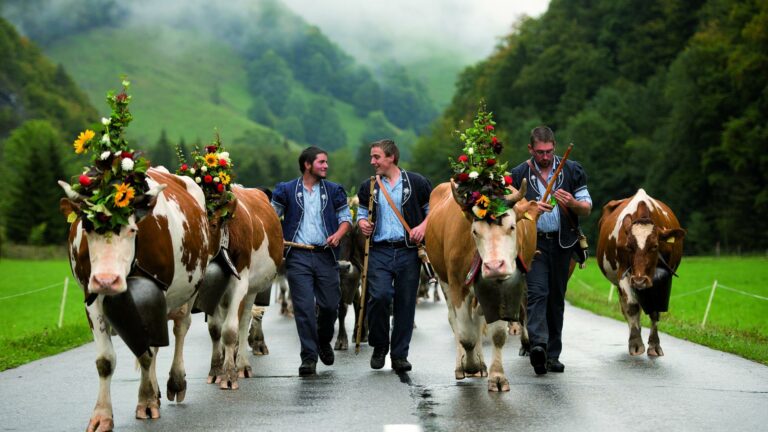
Discover the regional route n°78, the “Fribourg's prealp trail”. The "Fribourg's prealp trail" leads in five one-day stages from the medieval town of Fribourg past picturesque Schwarzsee, into the Gruyère region, then along the Gastlosen chain to verdant Pays d’Enhaut and down to the balloonists’ Mecca of Château-d’Oex.

Section 4
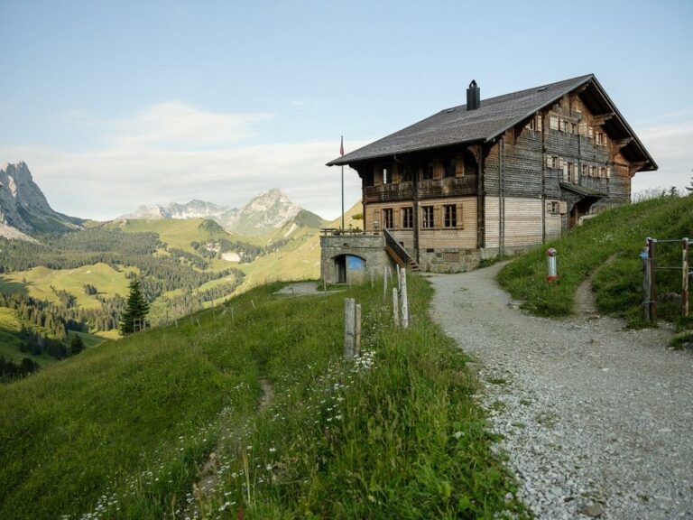
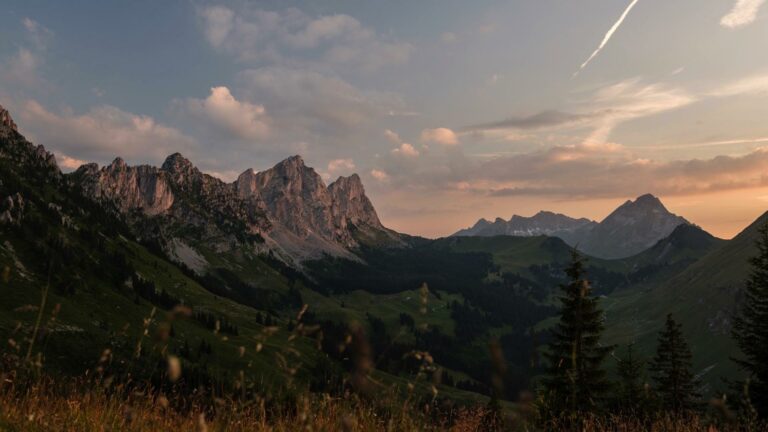
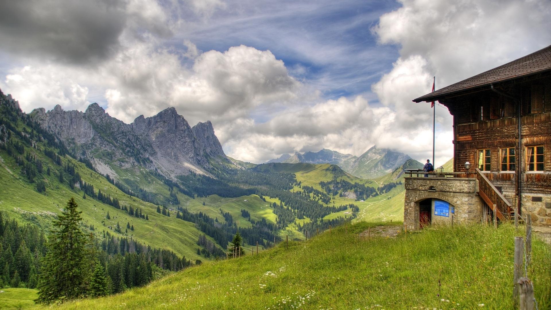
Enjoyable ascent on unsurfaced and surfaced paths to Châlet du Soldat. The landscape is dominated by the jagged Gastlosen chain; colourful flower meadows and lovely views back to the Euschelspass and to the surrounding mountains are a constant surprise.

Jaun – Soldatenhaus
Hiking time: 02:55
Height difference: 800 m

Soldatenhaus – Jaun
Hiking time: 01:00
Height difference: 80 m

Requirements
Grade: easy (hiking trail)/Conditions: medium

Accessible by public transport: yes | Nearest bus or train stop: Jaun, Dorf
Accessible by car: yes

Discover all the hiking trails in La Gruyère.

Information

Office du Tourisme de Jaun
Hauptstrasse 381
1656 Jaun

Properties of the itinerarie

Difficulty: Easy

Duration: 02:55

Distance: 6 km

Ascent/Descent: +897m / -162m

Altitude min./max.: 998m / 1753m

Download files

External links

Report an error

More information

We use cookies to provide you with a better experience.

By browsing this site, you accept the Data Protection Policy, as well as the use of cookies to collect statistics for the purpose of continually improving the website.

Close