
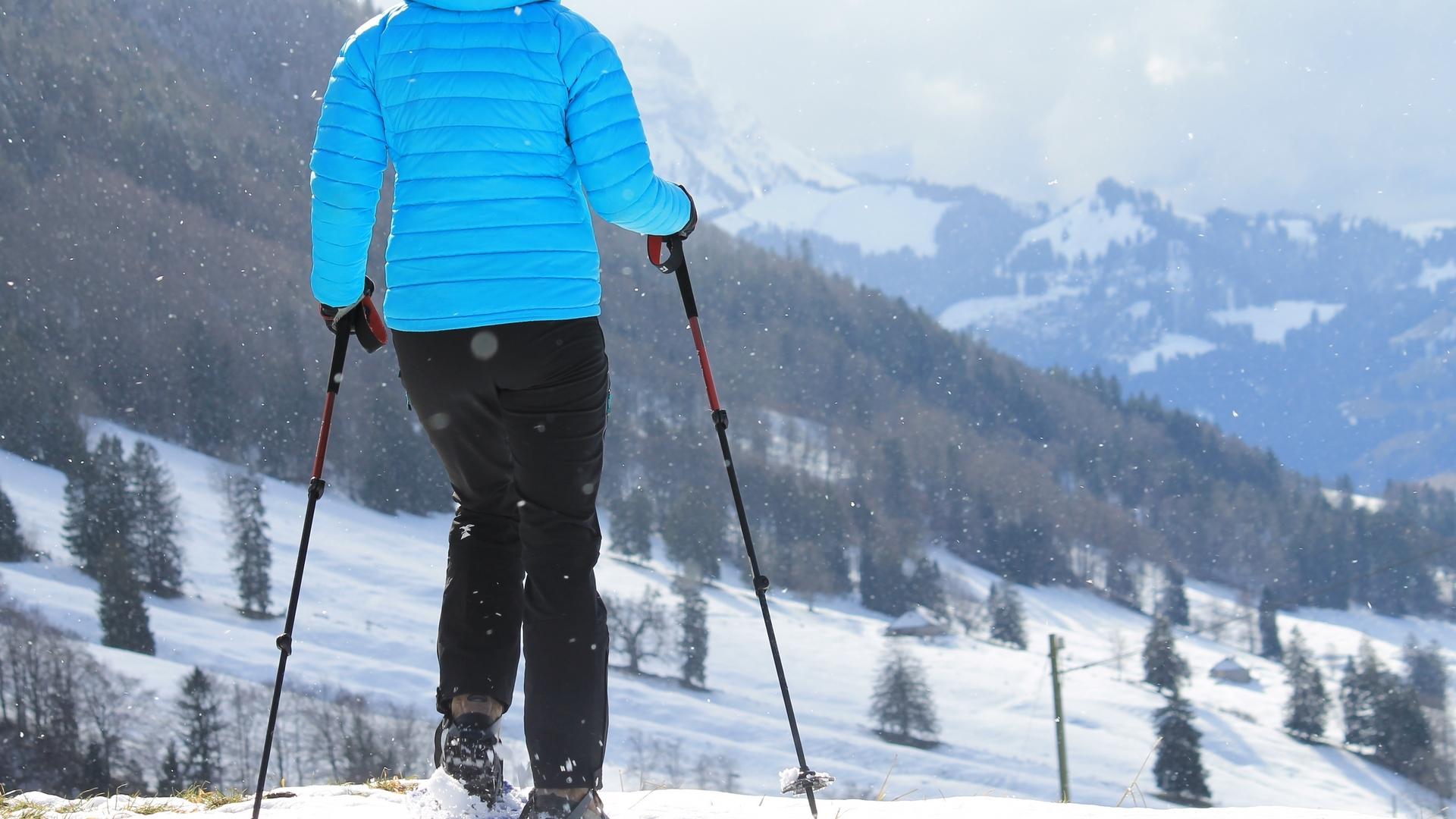
Close to the village, “La Monse” snowshoe trail is accessible to most people. A short walk with no major difficulties, it offers a pleasant panoramic view of the village of Charmey.
Switzerland Mobility: route SS 269
Charmey: Lodzetta
Starting at “Lodzetta” (Charmey's waste reception centre), follow the waymarking that starts next to the picnic area. Stretch your legs with a short climb that takes you to the Monse valley.
At this point, the path becomes flatter. Walk as far as La Monse chapel with its magnificent roof made from wood shingles, which dates back to 1618. The mountain chalet alongside is the oldest one still in operation in Fribourg canton (around 1500). It is a cube made of wooden beams, topped with a tall, pyramid-shaped roof made of wooden shingles. The timber work dates back to 1618. Continue your walk towards a telecommunications mast. Then cross the valley to return to your starting point, walking on the other side of the valley. As you pass, you can admire a remarkable dry-stone wall, which provides a home for numerous insect and reptile species during the winter.
This walk is accessible to all and does not present any particular difficulties. The route can be walked in either direction.
Find in the "Download files" a complete description of the snowshoe trail to download, print and take with you during your hike.
Information
La Gruyère Tourisme
Place des Alpes 26
1630 Bulle
This unprepared itinerary is marked. You take this trail at your own risk.
Properties of the itinerarie
Difficulty: Very easy
Duration: 01:30
Distance: 2 km
Ascent/Descent: +170m / -171m
Altitude min./max.: 856m / 997m