
Head towards the Hautachia Pass, located halfway between Schwarsee and Charmey.
Head towards Schwarzsee through the village of Cerniat. Located on the linguistic border between La Gruyère and La Singine, the Hautachia alpine hut will welcome you to enjoy a local dish or a simple refreshment. Enjoy the breath-taking view that you will discover at the top before going back down to Charmey.
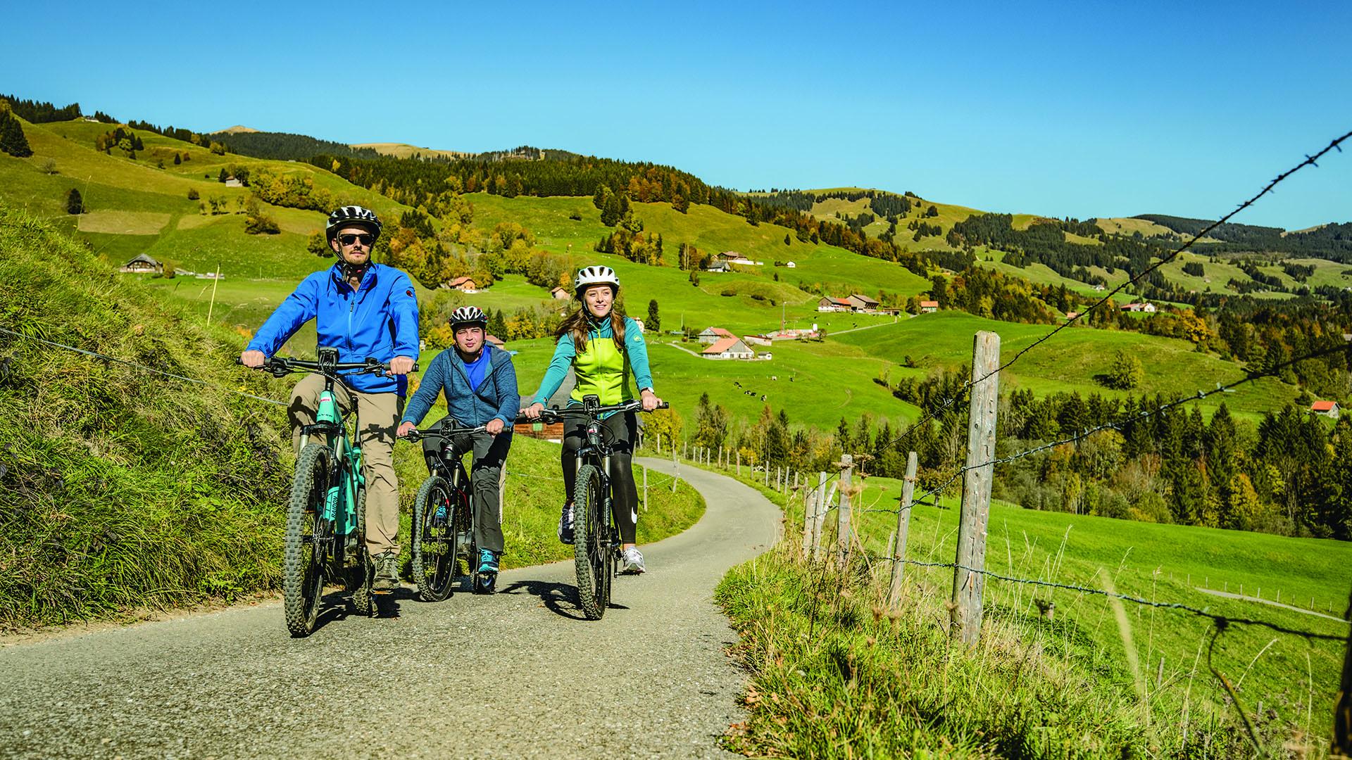
The electric bike station in Charmey welcomes you during the summer months from May till October, come and test our electric mountain bikes.
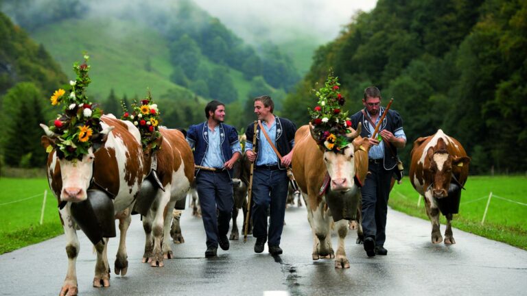
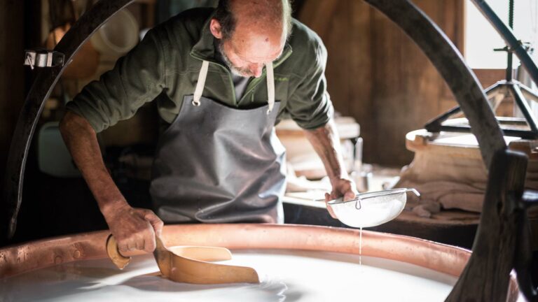
Travel easily through the mountains of the Pre-Alps. Take a break in the various alpine huts, enjoy the scenery and relax at Les Bains de la Gruyère!
It is best to book your rental in advance.
Discover all the information for your bike, mountain bike or e-bike tour in La Gruyère.
Information
La Gruyère Tourisme Office du Tourisme de Charmey, Les Charrières 1
Les Charrières 1
1637 Charmey
Would you like a guided tour?
Our guide, Véronique Borcard, will be pleased to help you explore the most beautiful trails. Do not hesitate to contact her!
Véronique Borcard - Tel. +41 (0)79 487 82 75
Properties of the itinerarie
Type of activity: Sports
Difficulty: Moderately difficult
Duration: 03:30
Distance: 25 km
Ascent/Descent: +721m / -721m
Altitude min./max.: 855m / 1475m