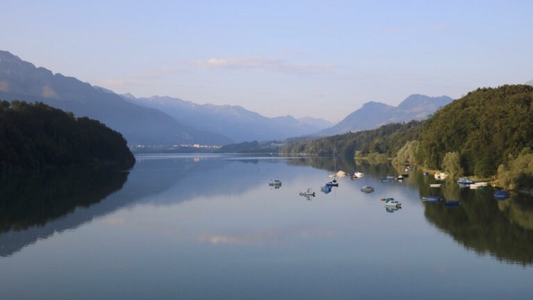

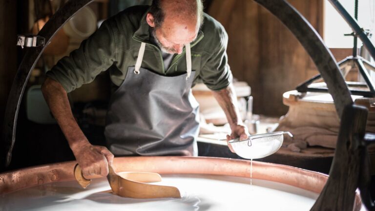
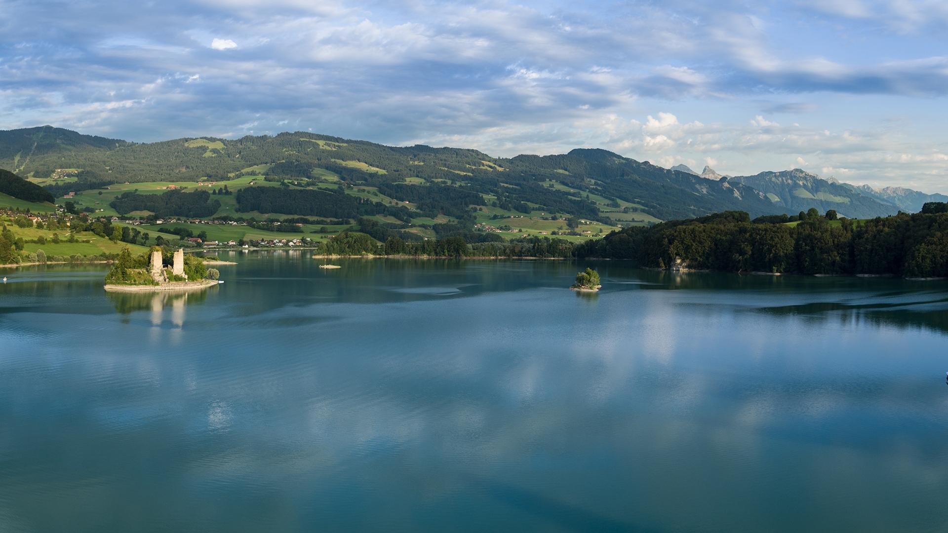
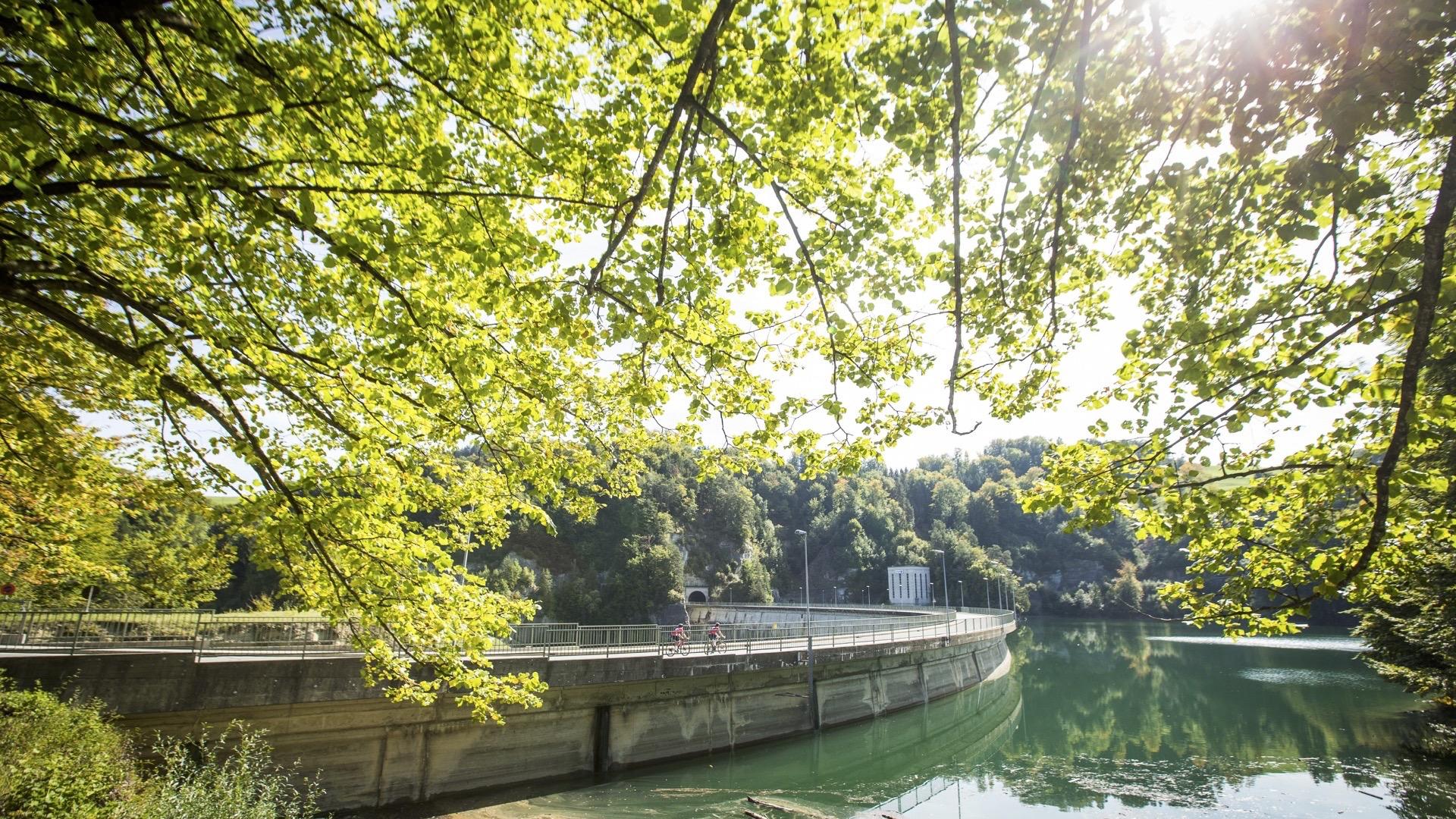
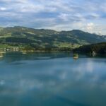
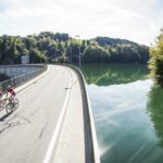
This stage of the Lake Gruyère walk is rich in history, including the stately Vuippens with its castle and gardens, the Ogoz Island and its vestiges of mediaeval life. Along the shore, you can enjoy bathing, water sports or fine food, before returning to Rossens along the path that overlooks the lake and the molasse cliffs.
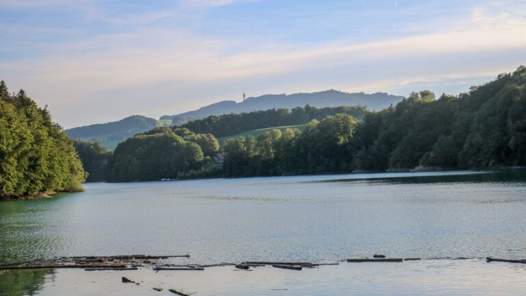
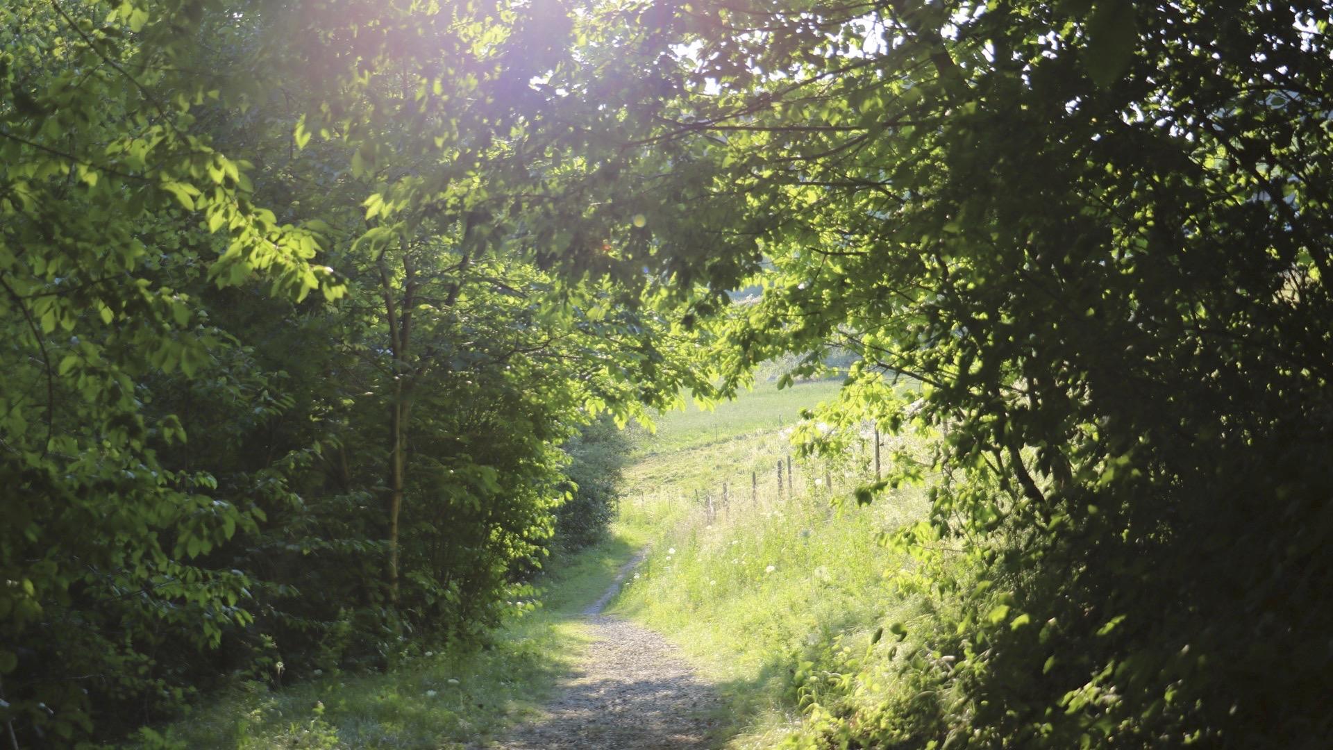
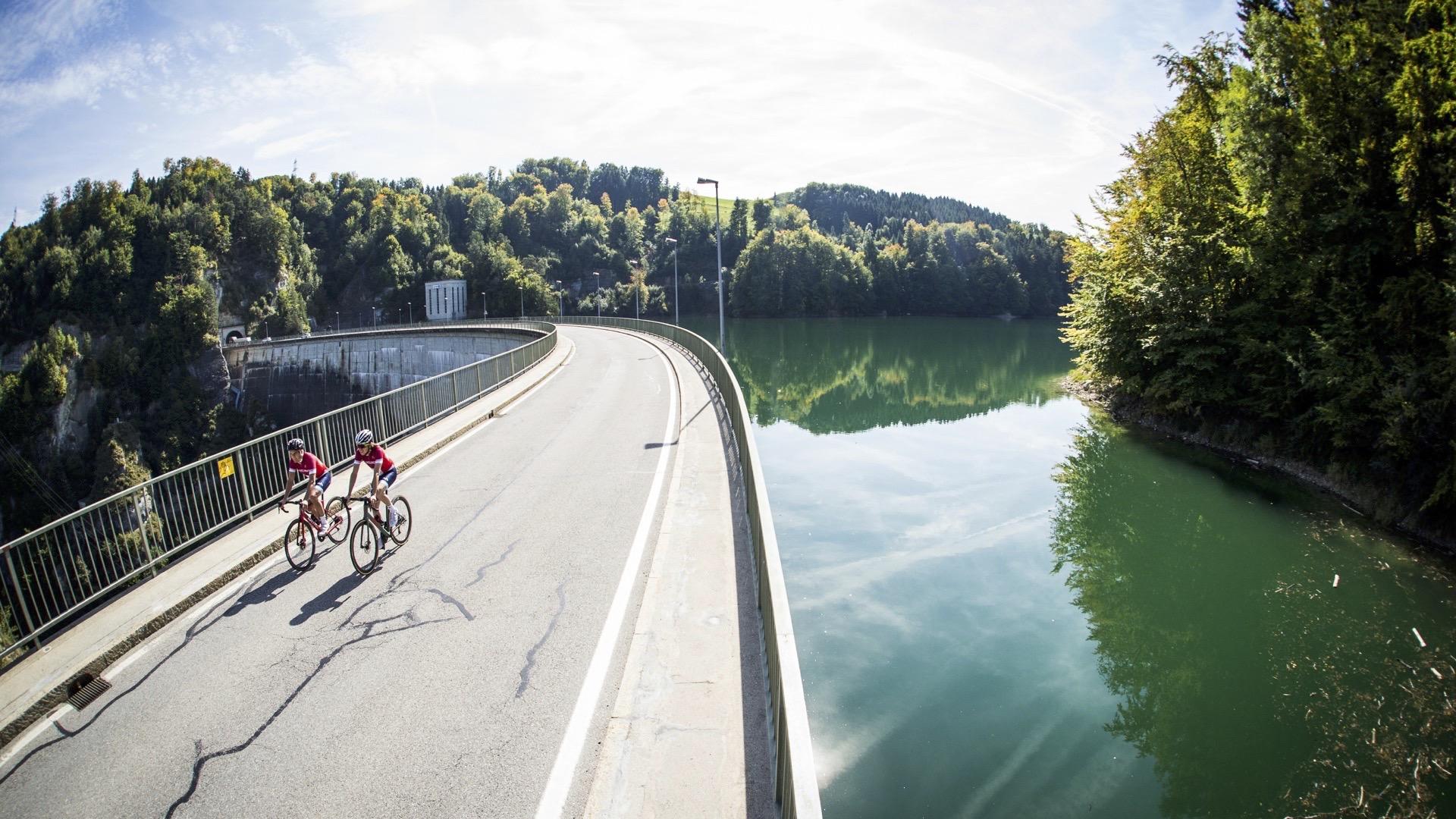
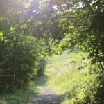
Tales and legends pepper the route from Corbières to Vuippens. The beach in Gumefens is a fine spot for bathing. Refreshments are available at the Buvette du Lac in the Gumefens campsite. Continue along the path to Le Bry, from where you can take a boat to the Ogoz Island. It is sometimes accessible on foot in the early spring. As far as Rossens, the path runs through the forest, overlooking the lake. The route undulates, with numerous wooden structures to help you over obstacles.
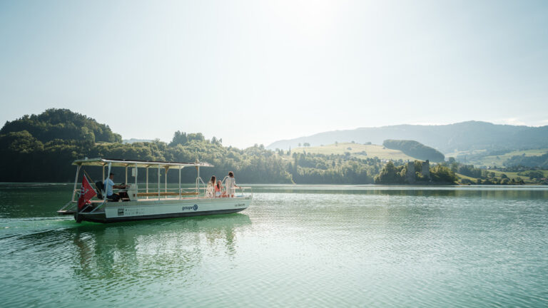
Tip: boat trips on the lake can be organised through the Isle of Ogoz Association, from Port d'Ogoz in Le Bry. You can also book a boat taxi in advance (079 653 87 55) to join two sections of your trip via the lake.
Accessible by public transport: yes
Accessible by car: yes
Difference in height: + 560 m / - 580 m
Discover all the hiking trails in La Gruyère.
Information
La Gruyère Tourisme
Centre commercial Velâdzo (rez inférieur)
Place de la Gare 3
1630 Bulle
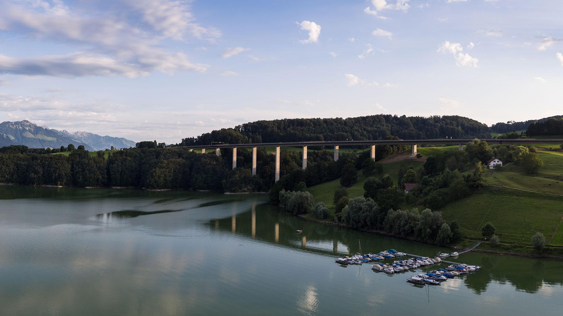
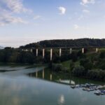
The trail between Le Bry and Rossens is closed for safety reasons during the winter. This applies to the section beneath the viaduct as the snow removal makes it dangerous. Signs are indicating the closing.


Properties of the itinerarie
Difficulty: Easy
Duration: 04:45
Distance: 16 km
Ascent/Descent: +285m / -302m
Altitude min./max.: 677m / 746m