
A delightful walk through the heritage of La Gruyère region to the hills above Charmey: Vounetz.
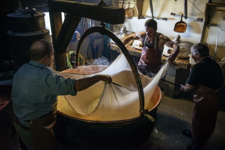
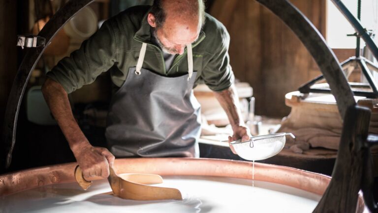
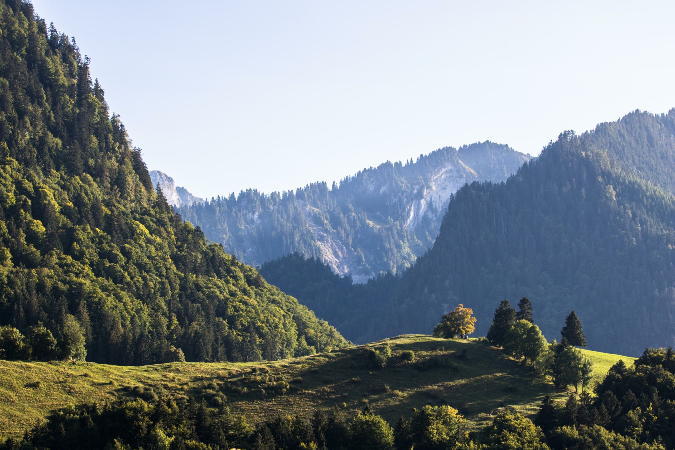
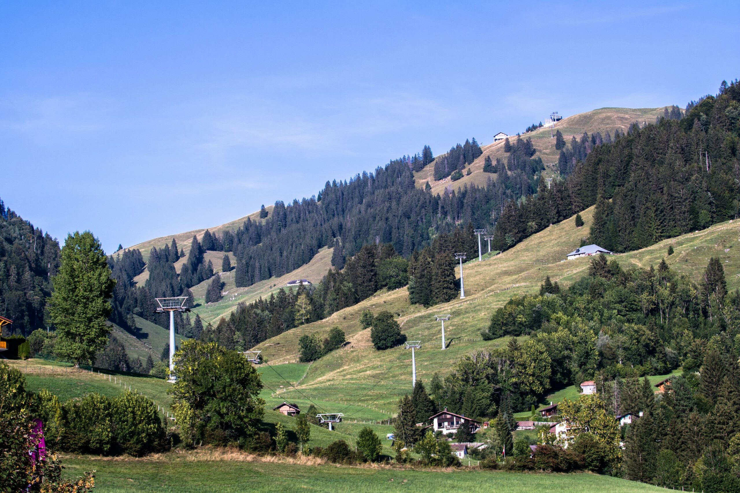
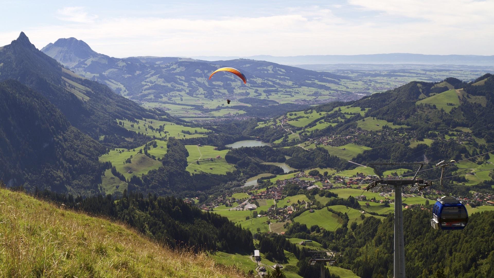
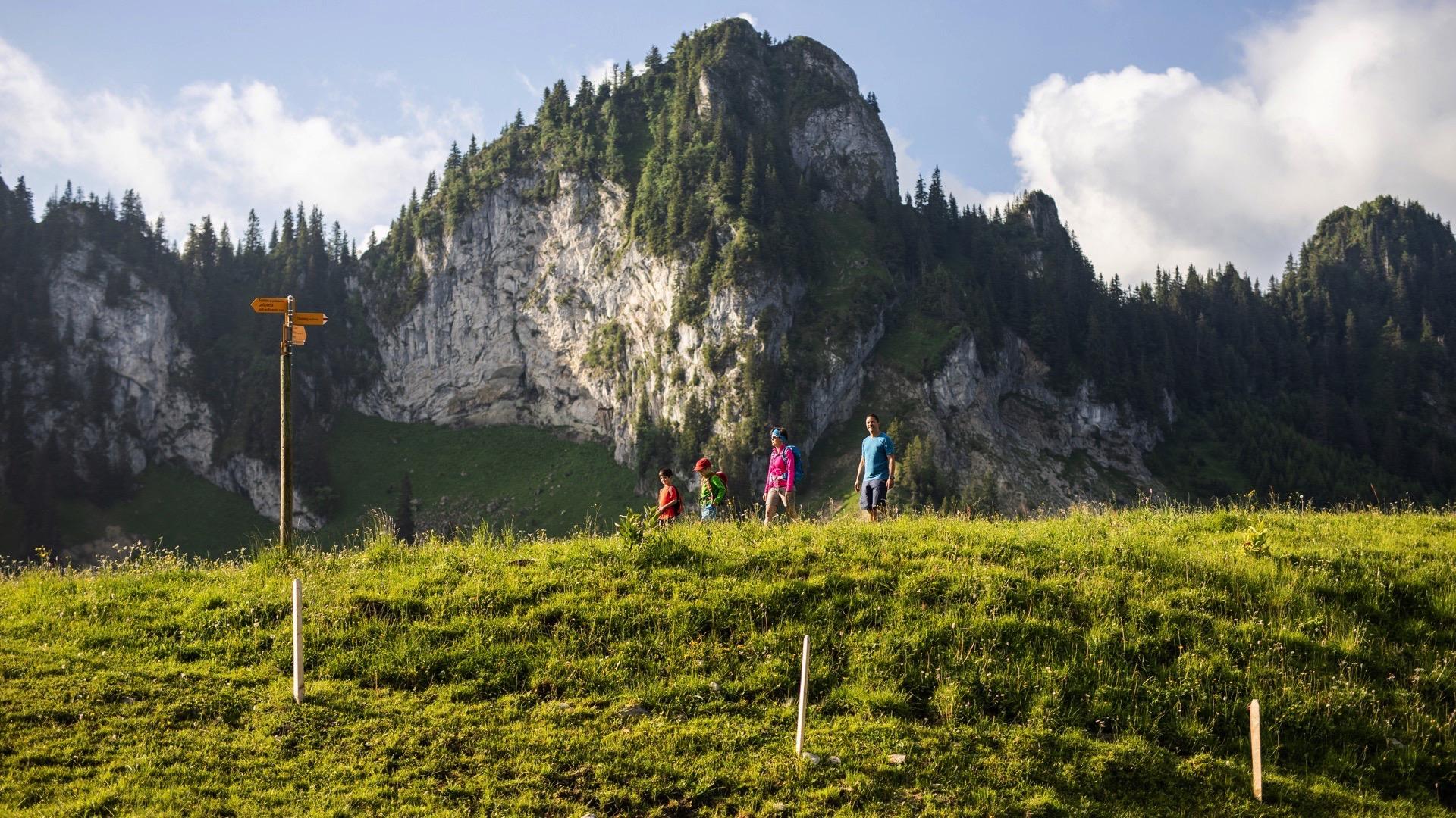
The walk starts in the heart of the village of Charmey. Walk into the centre of Charmey from the cable car parking area. From there, follow the “Les Reposoirs – Vounetz” pedestrian signs that take you to the hamlet of Les Ciernes, with its blend of traditional architecture and modern buildings. Follow the hiking trail towards Les Montgerouds and Pra Perron. At the 1012 m point, turn right towards the Chalet des Reposoirs to walk to Vounetz via Tissinèva. The panoramic view from the Alps tothe Jura is superb. Take the opportunity to visit the Vounetz Alpine chalet and watch the production of Gruyère d’alpage AOP and Vacherin d’alpage AOP cheese every day from May to the end of the summer; please book in advance at the tourist office.
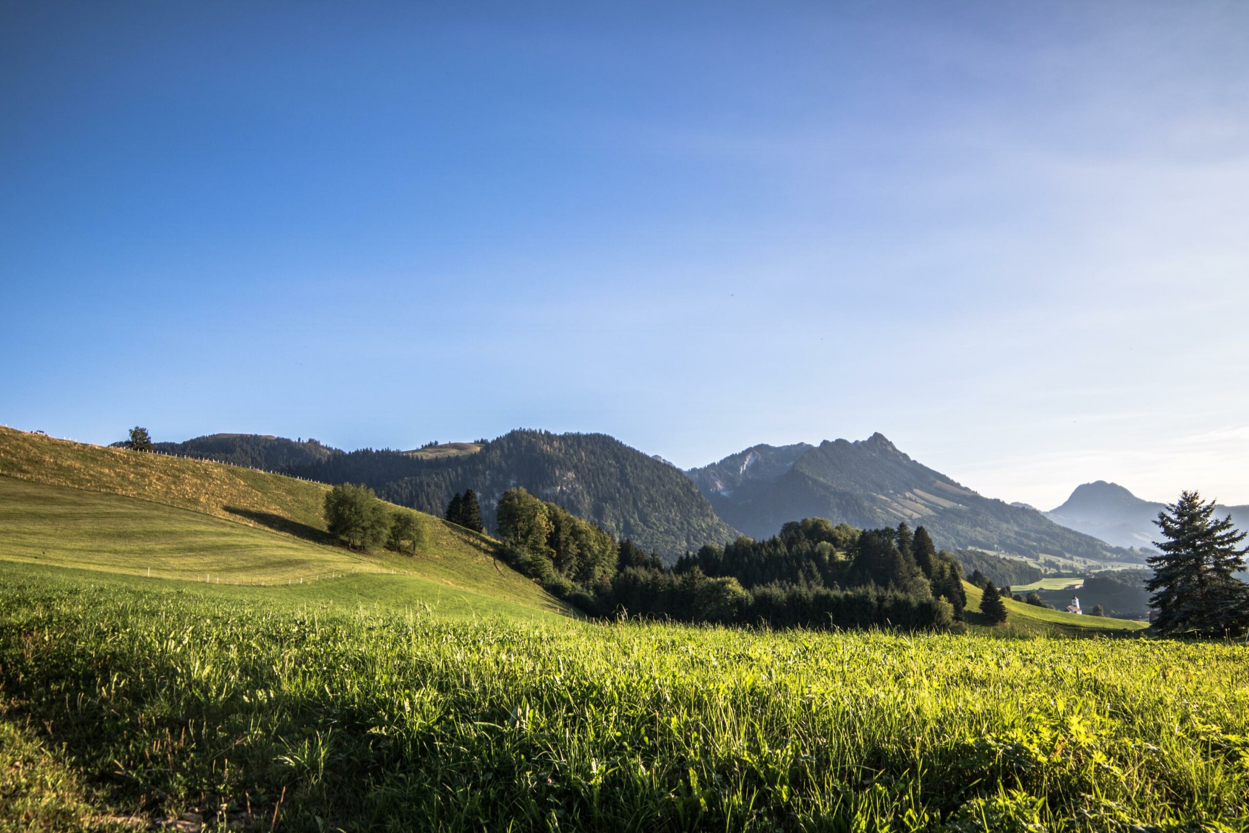
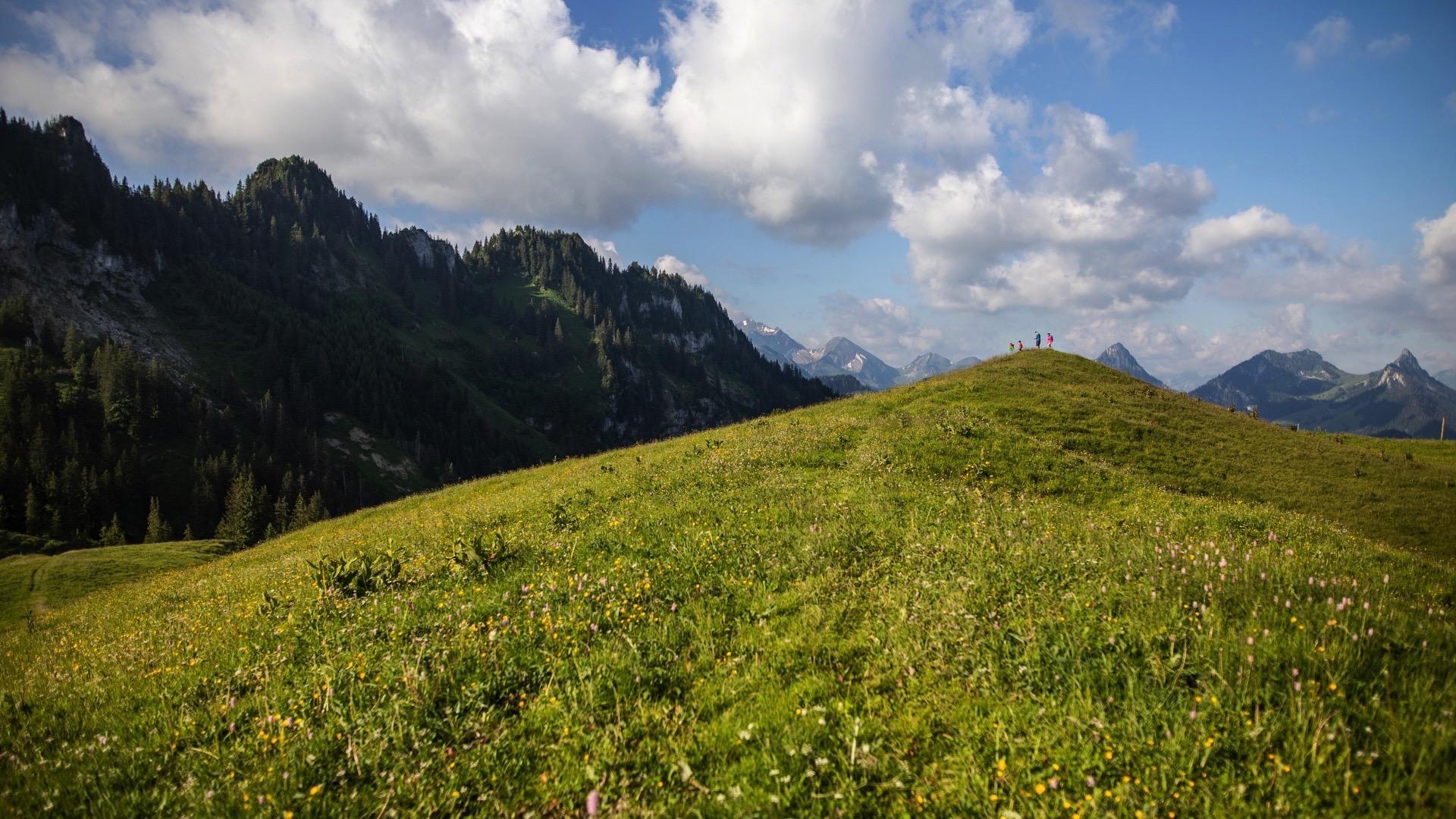
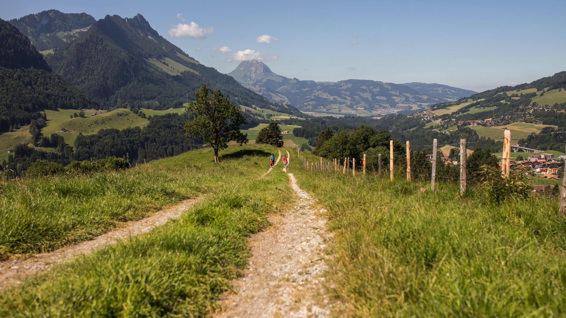
Go back to the crossing above Vatia d’Amont. Turn left and walk to the crest of the Vanil Blanc. Enjoy the marvellous view of the Moléson all along the crest. Pass the Vatia d’Amont, Vatia d’Avau and Montminard chalets, enter the top of the village and return to the cable car parking area.
Tip: the Valsainte Carthusian monastery is close to the path. Take a short detour to explore the architecture of the last working monastery of its kind in Switzerland.
You can take the Vounetz cable car either up or down to shorten the walk.
Accessible by public transport: yes
Accessible by car: yes
Difference in height: + 847 m / - 846 m
Discover all the hiking trails in La Gruyère.
Information
La Gruyère Tourisme, Les Charrières 3
Les Charrières 3
Case postale 25
1637 Charmey


Properties of the itinerarie
Difficulty: Challenging
Duration: 05:00
Distance: 15 km
Ascent/Descent: +818m / -818m
Altitude min./max.: 875m / 1612m