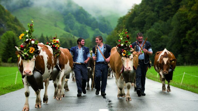

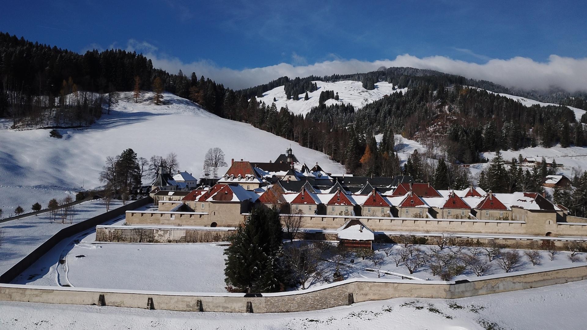
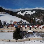
This trail takes you to the summit of Vounetse. From La Valsainte, the trail crosses mountain pastures and forests to reach La Chaux-du-Vent, Tissineva and the summit of Vounetz.
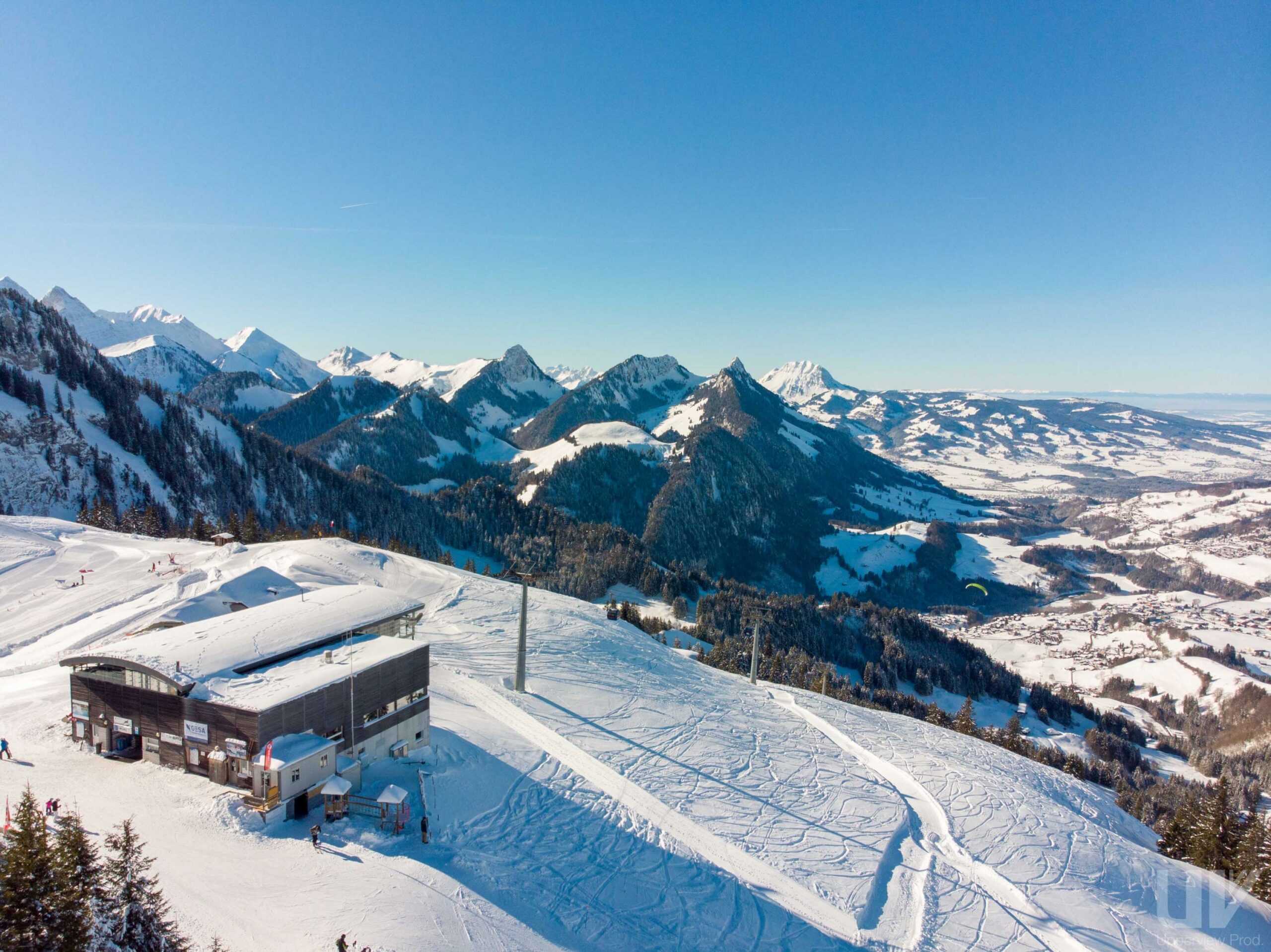
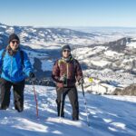
From the Valsainte monastery, take the footpath that goes down towards the Javro, cross the bridge and then continue towards Les Reposoirs. Follow the hairpin road that climbs through the forest of Reposoirs. Once in the clearing, follow the signposts carefully and not the road as the road may be subject to occasional snowfall. Once you reach the ridge, turn to your left and follow the small path that takes you to the Auberge de Tissineva. Take the path towards the summit of Vounetz and admire one of the most beautiful panoramas of La Gruyère with its main peaks: La Berra, Vanil Noir and Moléson.
The restaurant Dents-Vertes in Vounetz welcomes you for a well-deserved snack during their winter opening hours.
There are several possibilities when you want to leave, take the same trail, take the cable car or take another trail.
Find in the "Download files" a complete description of the snowshoe trail to download, print and take with you during your hike.
Information
La Gruyère Tourisme
Place des Alpes 26
1630 Bulle
This unprepared itinerary is marked. You take this trail at your own risk.


Properties of the itinerarie
Type of activity: Sports
Difficulty: Moderately difficult
Duration: 03:30
Distance: 5 km
Ascent/Descent: +656m / -68m
Altitude min./max.: 964m / 1609m